From
Fred:
(this
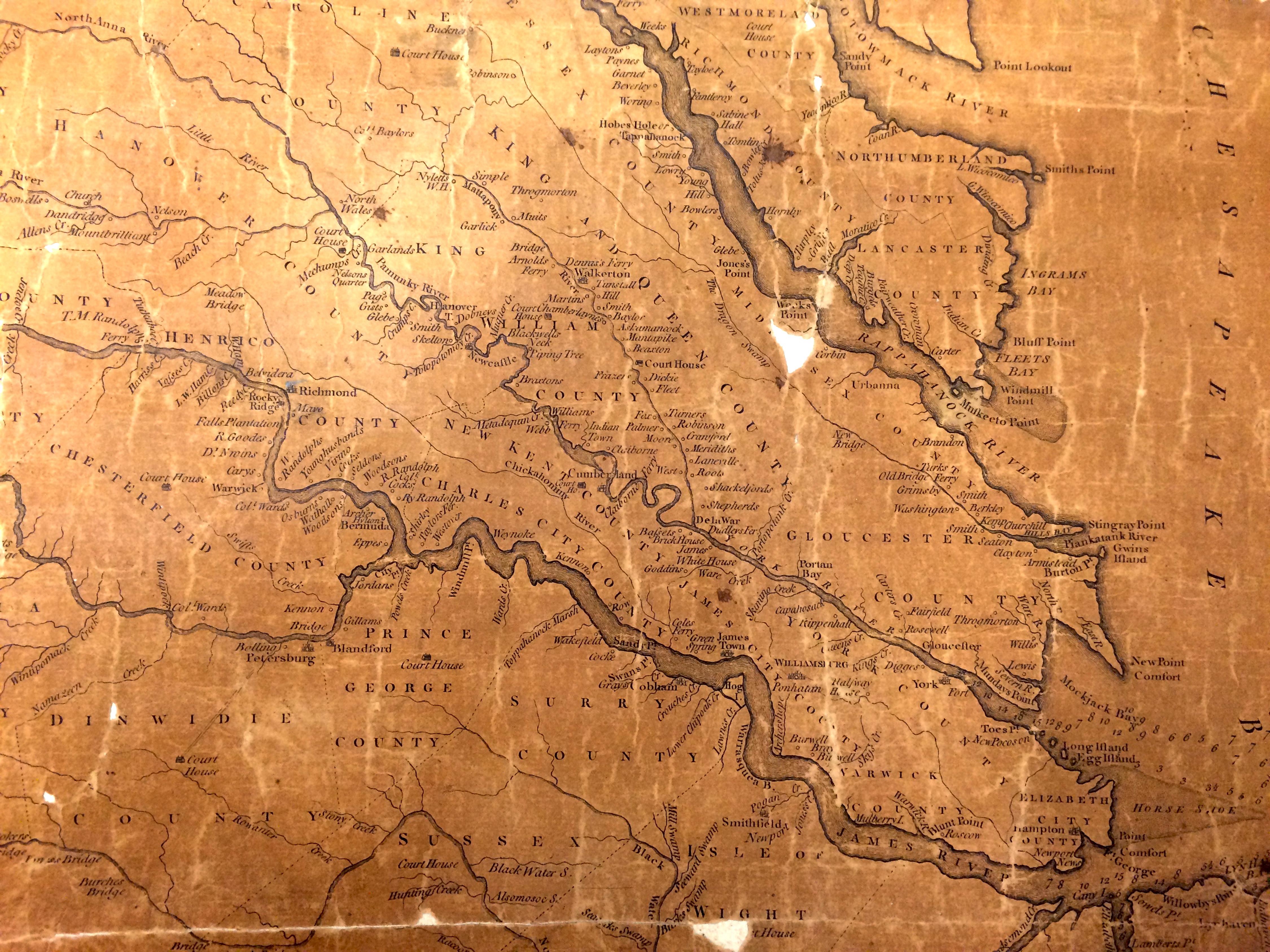
pertains
to the
2nd map
below)
"...I
requested
the
Henry
map and
the
librarian
brings
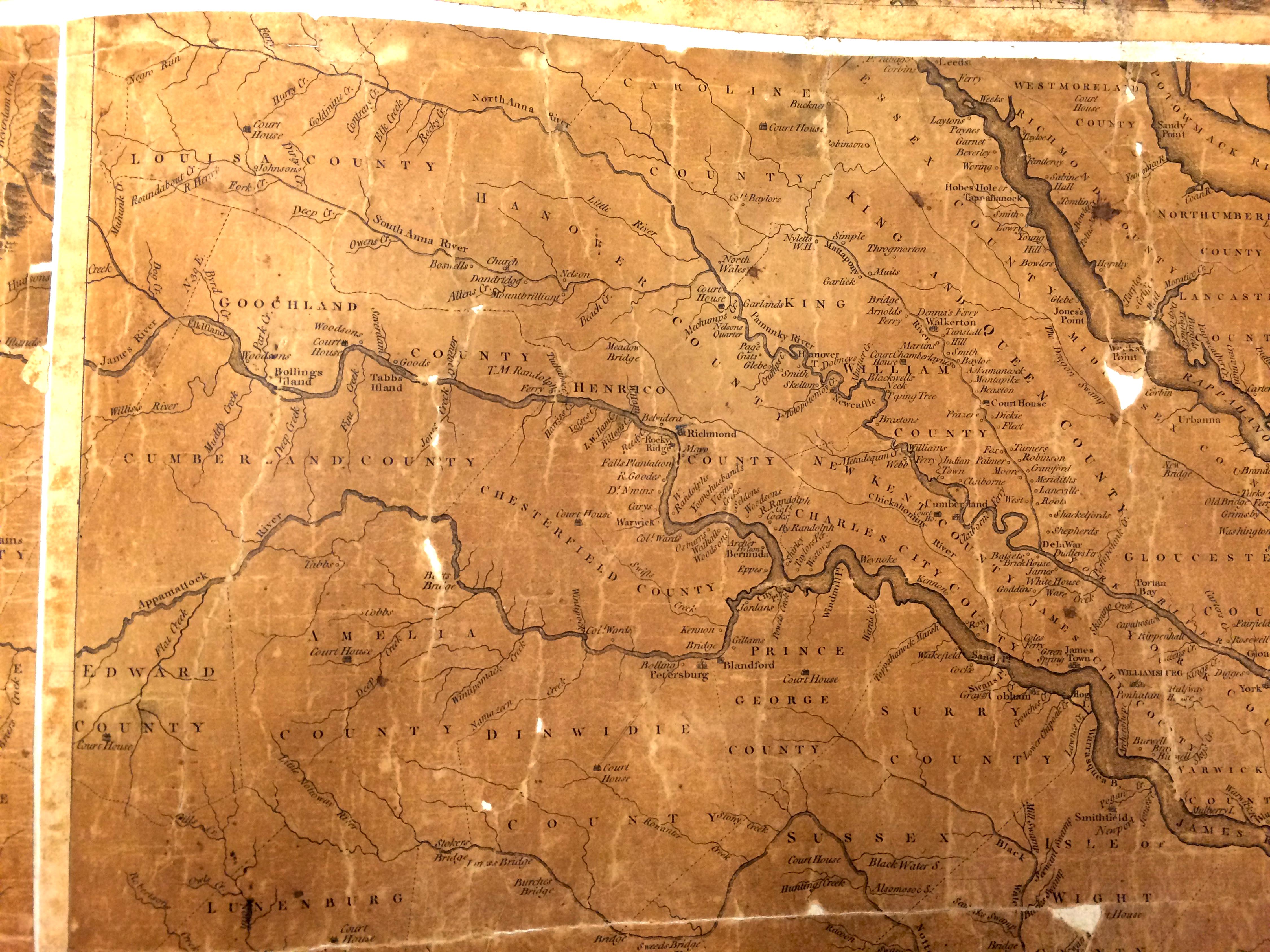
out a 5'
by 5'
folio
and not
a copy.
This is
one of
the
original
size, so
you can
zoom in
and
still
retain
detail.
Note
Wathall
just
above
the
James
and
Appomattox
rivers
split--above
Bermuda."
Just for
reference,
the
James
River at
Jamestown
is one
to two
miles
wide.


